Description
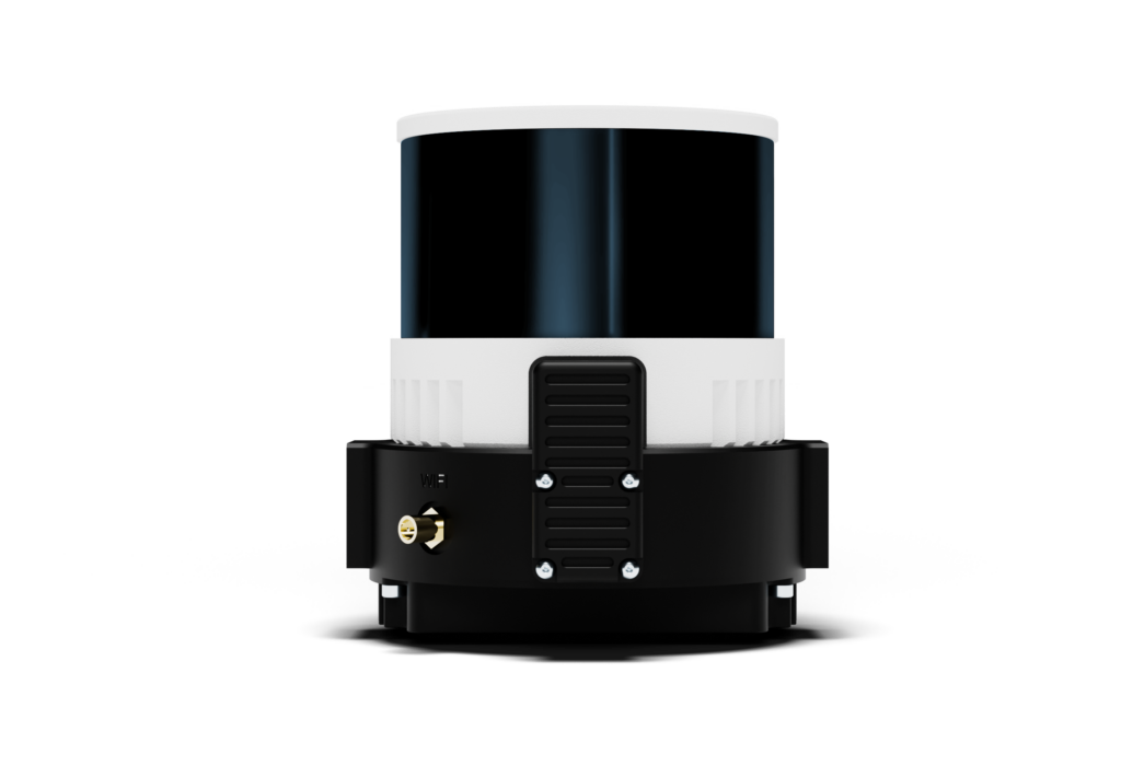
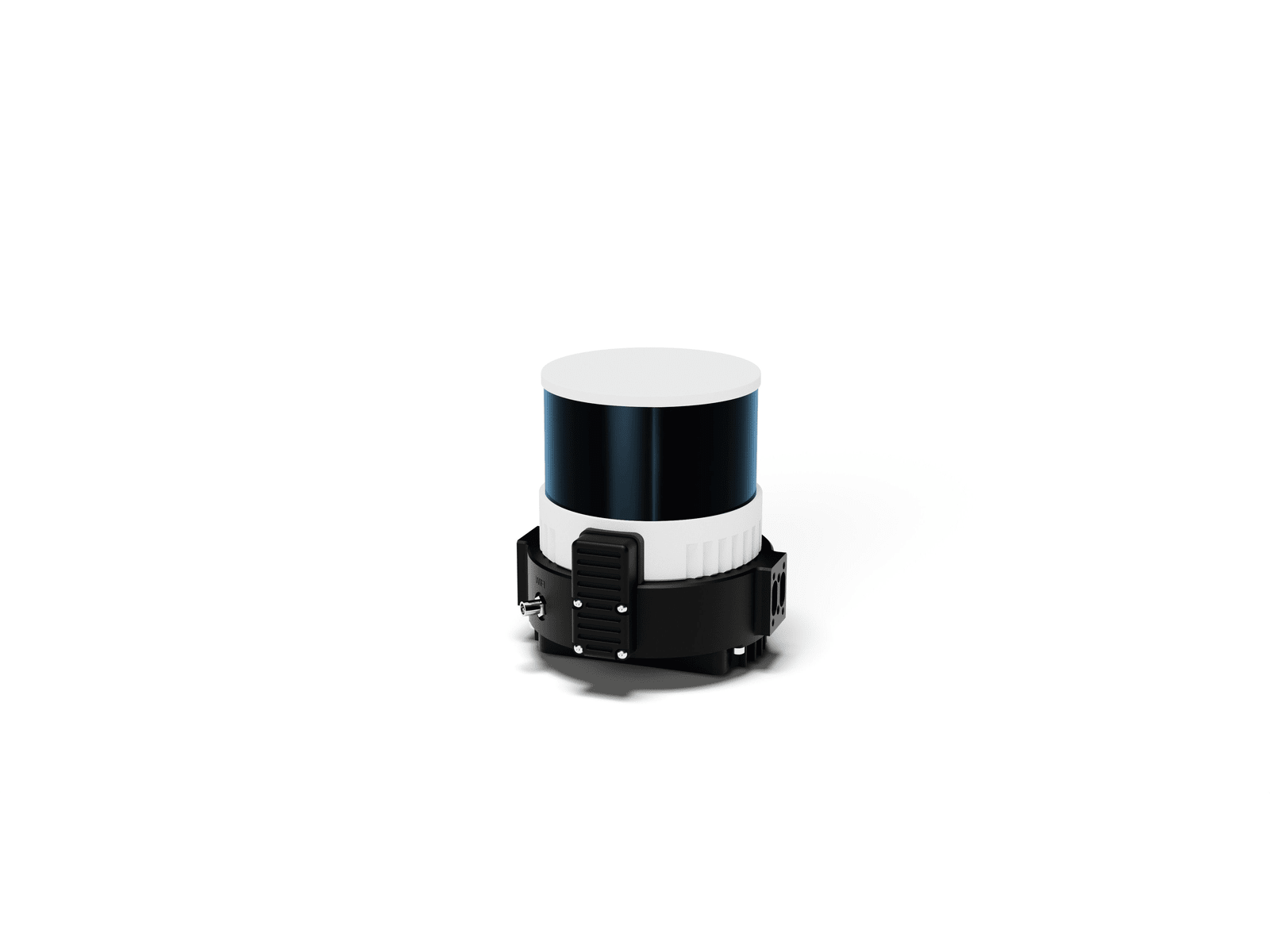
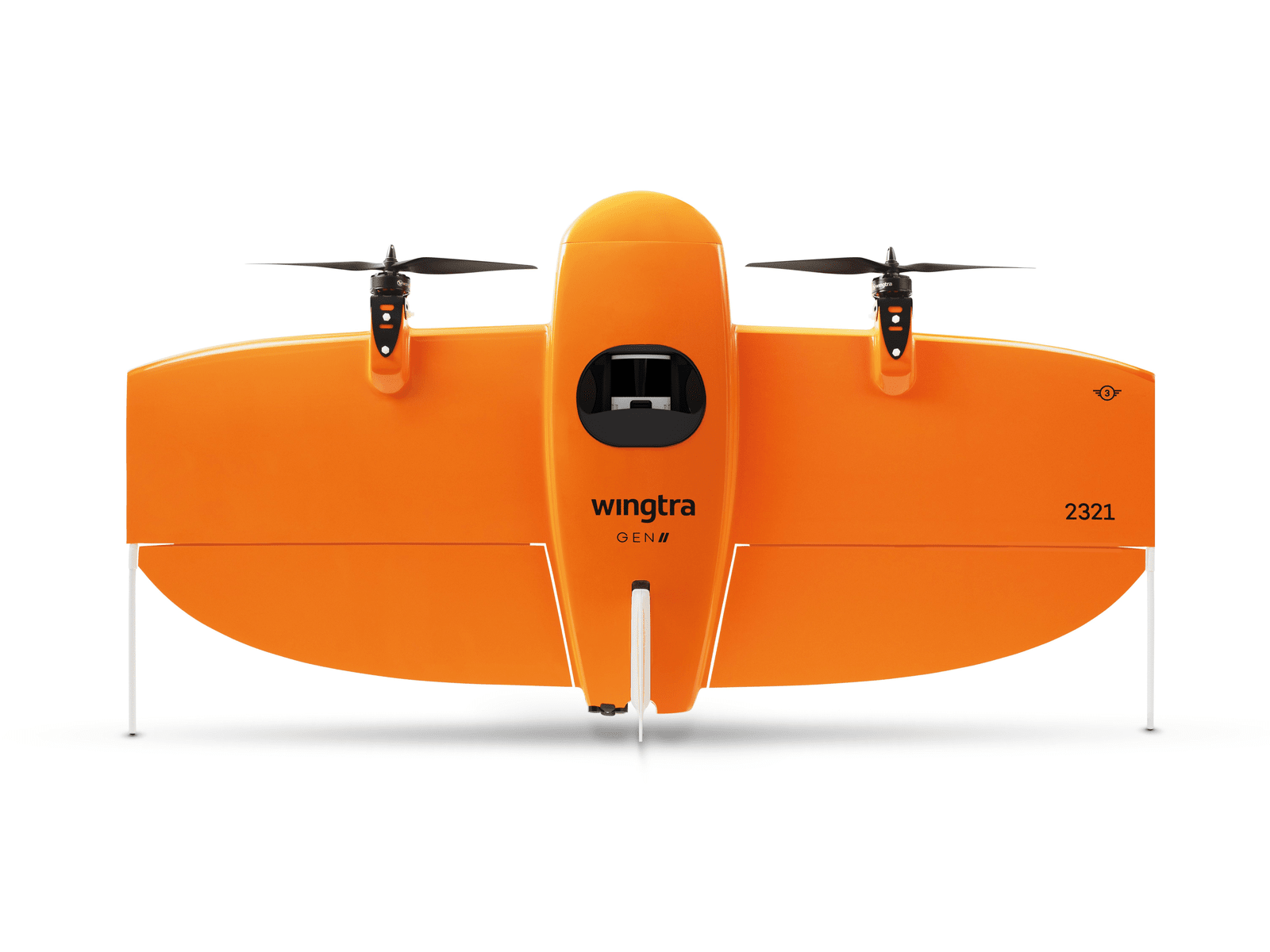
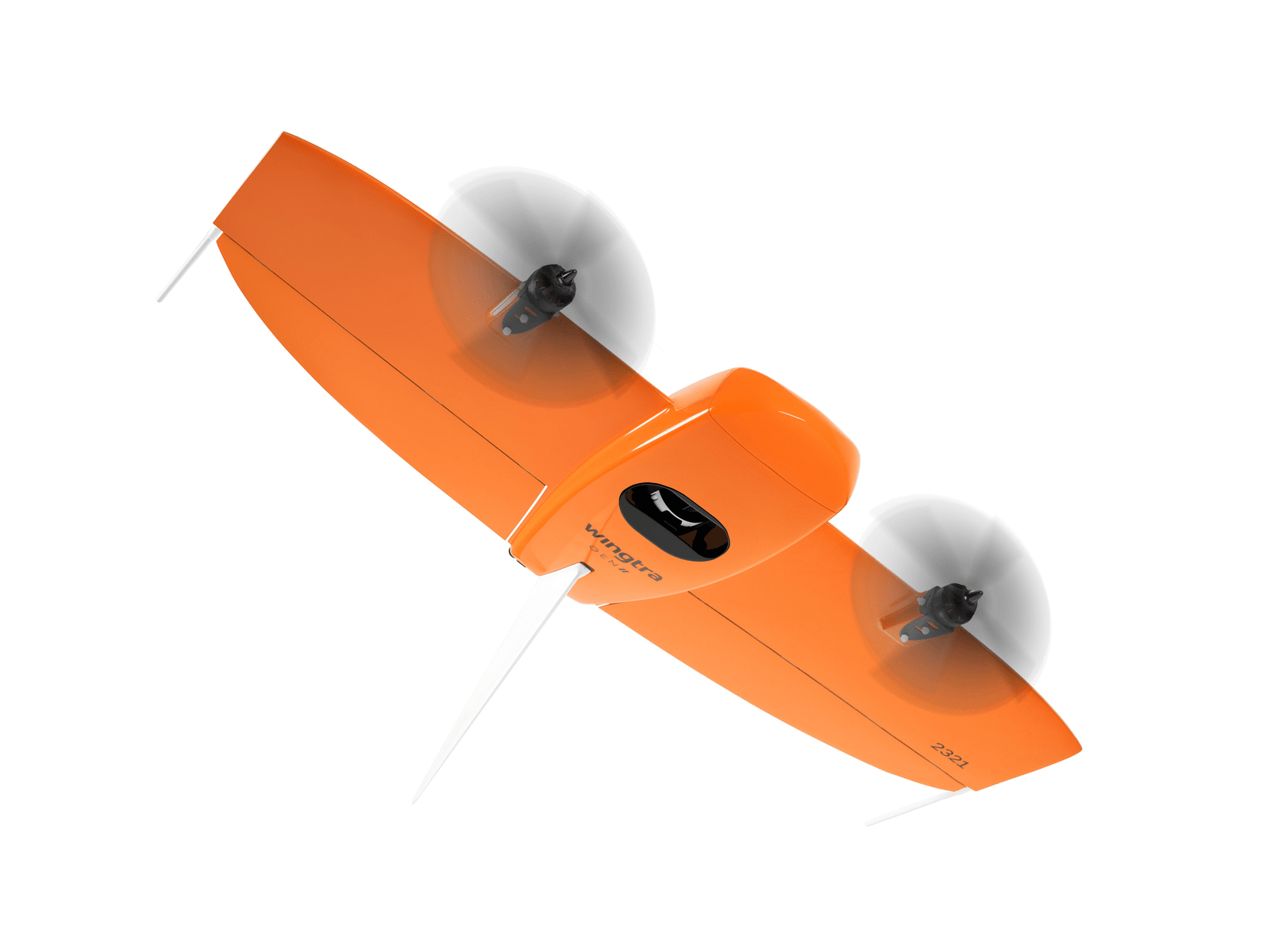
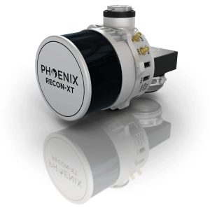
- Wingtra LIDAR sets new standards in aerial mapping. Its high-performance LiDAR sensor seamlessly into Wingtra’s already acclaimed WingtraOne drone. This powerful combination boasts:
- Exceptional accuracy: Capture data with 3 cm (1.2 in) vertical accuracy verified by lead customers, making it top-of-the-range.
- Effortless operation: The fully integrated system simplifies LiDAR data collection, making it accessible to professionals of all levels.
- Unmatched efficiency: Cover vast areas with longer flight times and wider swaths, reducing overall project time and cost.
- Rugged and reliable: The proven WingtraOne platform ensures reliable operation even in challenging conditions.
