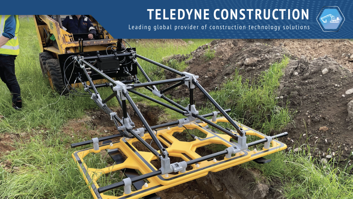
UPAC: The smartest way to detect underground utilities – before you break ground.
Detect. Map. Verify.
Avoid costly surprises and delays with the Teledyne UPAC Electromagnetic Survey System, now available through GPSBuild. UPAC is engineered to deliver fast, accurate detection and mapping of buried and unmapped metallic objects—including pipes, cables, and other underground infrastructure—before construction begins.
Developed from Teledyne’s proven subsea detection technology, UPAC brings over 30 years of innovation to land-based surveying, giving construction and infrastructure professionals unmatched accuracy and confidence in their pre-construction assessments.
How it Works
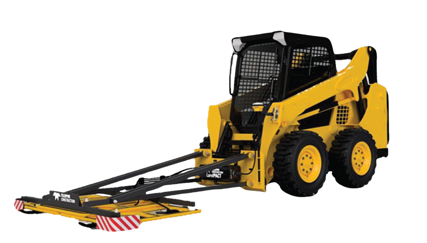
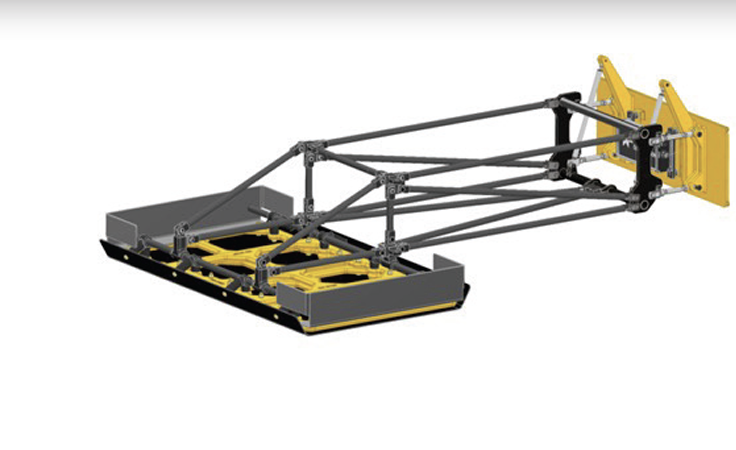
UPAC uses advanced electromagnetic coils to scan the subsurface for metallic targets. Data can be viewed live on the operator’s ruggedized tablet or streamed directly to compatible construction software for instant analysis. With Teledyne’s optional Target Scaling service, operators can accurately determine the depth of burial for specific targets—critical for safety and compliance during excavation or installation verification.
Key Benefits & Features
-
Detects ferrous and non-ferrous metal targets at depths of 12+ feet
-
Produces live heat maps for real-time visualization
-
Integrates with GNSS systems for precise geolocation
-
Outputs logged data to third-party construction survey software
-
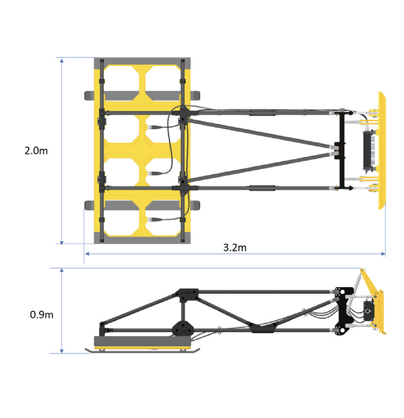
Modular, lightweight design built to withstand rugged outdoor conditions
-
Mounts easily on a variety of vehicles for large or small area surveys
-
Enables target depth measurement and verification of new installations
Applications
-
Pre-construction ground surveys
-
Utility and infrastructure mapping
-
Verification of new pipe and cable installations
-
Environmental and waste site assessments
-
Energy and transportation projects