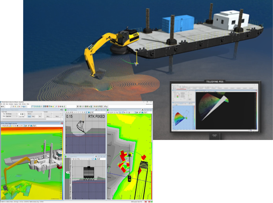
Next-Generation Marine Construction Technology That Gives You Eyes Underwater


How it Works
Our software and hardware solutions work together with the Global Navigation Satellite Systems (GNSS) by calculating the distance between the receiver antenna and the satellite. GNSS receivers constantly listen to a series of specially coded messages transmitted by each satellite. The receiver then calculates how long it takes the signal to get from the satellite to its antenna. By tracking signals from at least four satellites, our technology solutions can triangulate a location anywhere on Earth and provide measurements within two centimeters.
GPSBuild improves accuracy, efficiency, and speed:
Dredging
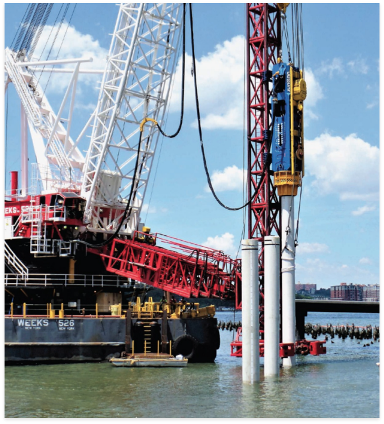
Piling Placement
Hydrographic Surveying
Port & Loading Operations

Strategic Partnerships Shaping the Future: Trimble, SITECH SETX, Wingtra, B2W, Rajant and Teledyne
GPSBuild proudly collaborates with industry giants—Trimble, CAT Mustang, and SITECH SETX—to revolutionize the construction landscape. This synergy combines GPSBuild’s local expertise with global technological leadership, delivering unparalleled hardware, software, and service solutions. Together, we are setting new standards in marine construction and hydrographic applications, ensuring that our clients are equipped with the most advanced tools to tackle the challenges of a dynamic industry.


